Service
Geodetic and topographic works
Topographic surveys and geodetic investigations for design.
Topographic surveys and geodetic investigations for design.
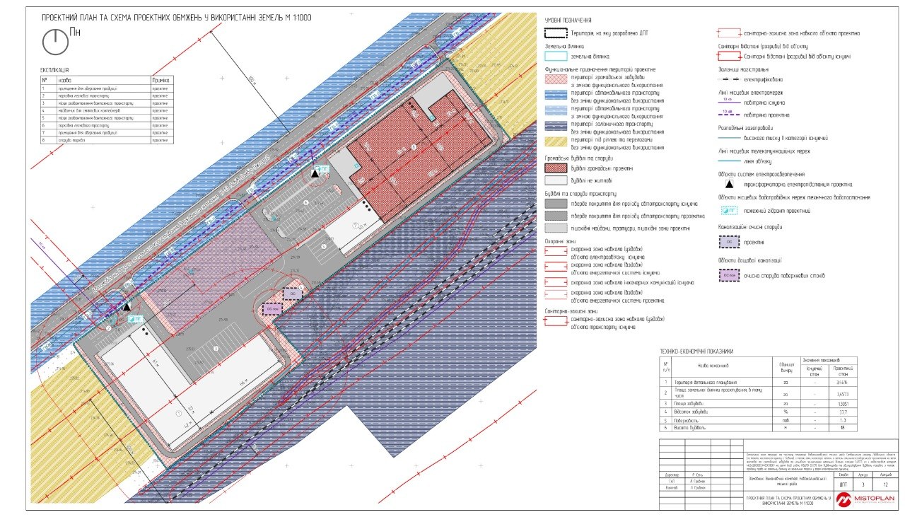
We perform topographic and geodetic surveys that become the accurate basis for developing urban planning and project documentation.
The topographic base is the foundation of any quality project. We carry out surveys at scales from 1:500 to 1:5000 using modern GNSS equipment and total stations.
The results are delivered in digital form, ready for use in design and geographic information systems.
Що входить у послугу
- Topographic survey of the site
- As-built survey
- Setting out boundaries on the ground
- Digital plans and 3D terrain models
Work examples
Completed projects in this area
Work examples for this area will appear soon. Contact us and we will provide relevant cases.
Request examplesReady to discuss your project?
Tell us about your task — we will offer a clear, lawful and effective solution.